Services
Boundary Survey
A boundary survey establishes the extent of the property lines of a parcel of land. They are usually performed to re-establish visible property markers, settle property disputes, and to establish the correct location of any improvements or new construction. When a boundary survey has been completed, property corners will be properly marked, easements and rights-of-way will be discovered and a map or plat showing the results of the survey will be provided to the client.
Elevation Certificate
An elevation certificate is used to:
- determine whether or not a property is located in a flood zone
- discover what type of flood zone a property is located in
- certify that structures on a property are built above the flood plain
Typically, these are required to comply with local and federal requirements for construction or for determining insurance rates.
Topographic Survey
A topographic survey is used to locate natural and man-made features such as buildings, improvements, fences, elevation, land contours, trees, bayous and more. This type of survey can be used by engineers, architects and landscape designers for development and design purposes, or may be required by a government agency to obtain a permit, to develop a plan for erosion control, or for a variety of other reasons.
ALTA/ACSM Land Title Survey
This is a survey used to supply an owner, title company and/or lender with a plat, map or record of such survey. The survey records any feature of the property which will effect the land title. ALTA surveys are very comprehensive surveys and are most often performed on commercial properties or for the purpose of securing title insurance. For more information, please
visit the ALTA/ACSM web site. Smith & Weiland has completed numerous large-scale ATLA/ASCM surveys of extensively developed commercial properties, undeveloped commercial properties and large agricultural tracts.
Example: a Land Title survey in Bolivar county.
Land Division (Parcel Subdivision)
This is a boundary survey of an existing parcel and of the division(s) of the parcel. All surveys for parcel divisions include a plat of the new parcels and the required legal description to record the division. In certain locations it is required to subdivide in a regulated manner. This includes adhering to zoning regulations, subdivision regulations, and governmental approval of the proposed divisions.
Site Plan
A boundary and topographical survey with design engineering showing the proposed improvements to a parcel of land. These are used for developing properties and obtaining government building permits.
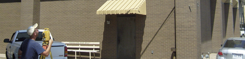
Construction Staking
This type of survey consists of setting precise horizontal and vertical control stakes for the construction and installation of improvements such as sewers, water mains, curbs, sidewalks, roads, ditchs, structures and any other features.
Residential Development
This type of project includes all the types of survey mentioned herein as well as civil engineering design of grading, roadways and utilities. The property is surveyed and construction stakes are placed and inspected, and property corners are set. This work is generally done under contract for platted subdivisions, condominiums, family housing projects and other large-scale community improvements.
As-Built Survey
A survey carried out during or immediately after a construction project for record, completion evaluation and payment purposes. An as-built survey documents the location of the recently constructed elements that are subject to completion evaluation. These can also be used for mortgaging purposes, and do not always include boundary monumentation.